There are places where the tide feels like more than a number on a chart. Brewster Flats is one of them.
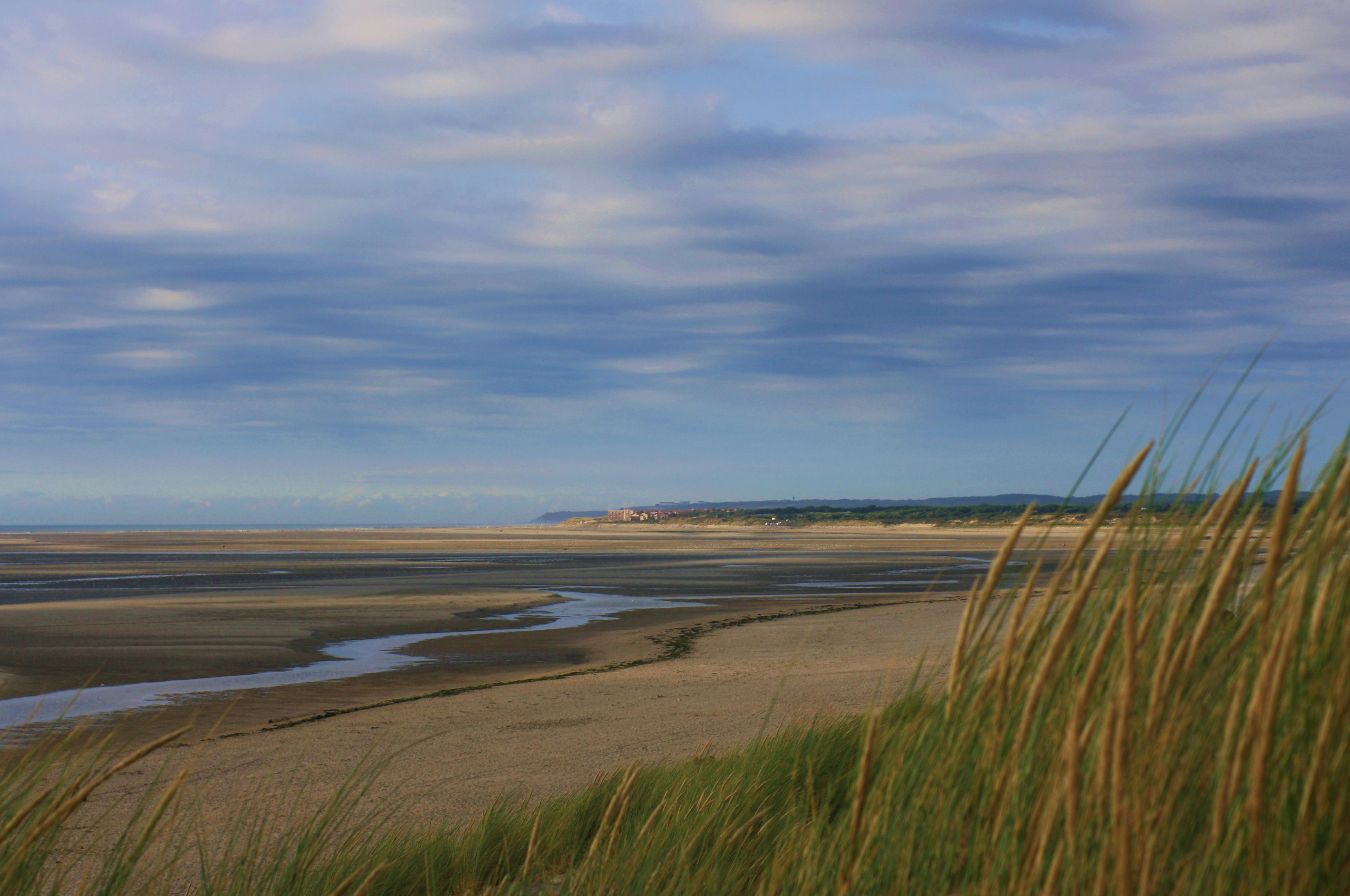
At low tide, Cape Cod Bay pulls away from the Brewster shoreline and reveals North America’s largest tidal flat. The beach keeps going until it hardly feels like a beach anymore. Sandbars curve around clear pools. Small channels wind toward the horizon. Boats that floated nearby a few hours earlier seem to rest in the middle of a new landscape.
It is one of the most beautiful places on Cape Cod, and one of our favorites to share. Every visit is different. The season changes the wildlife and the feeling of the air. Weather changes the color of the water and sky. Most of all, the tide redraws the entire place twice a day.
North America’s largest tidal flat
The scale of Brewster Flats is difficult to appreciate from shore. You have to walk onto it. With every few steps, the beach behind you gets smaller and Cape Cod Bay opens wider.
The Town’s Brewster Flats overview says the exposed sand often reaches more than a mile offshore. A Massachusetts project describes roughly 12,000 acres of exposed flats, with the sea receding as far as two miles. At high tide, parts of that same landscape sit beneath 10 to 12 feet of water.
That transformation is what makes the Flats so remarkable. The view does not simply change. An enormous part of Cape Cod Bay appears, stays for a few hours, and disappears again.
Never the same place twice
A bright summer evening on the Flats feels completely different from a quiet off-season afternoon. Some days are still and glassy. On others, clouds race overhead and the wind leaves patterns across the wet sand. Even familiar pools and channels can look new when the light, weather, and water change.
The tide changes the scale too. Some low tides reveal a broad sweep of sand. Others leave more water in the channels and pools. The position of the Sun and Moon helps shape that difference, as our guide to spring-neap tides explains.
This is part of the joy of coming back. You can start from the same beach at the same time of day and still find a different version of the Flats waiting for you.
An afternoon can become an evening
You do not need a plan beyond giving yourself time. Walk the sandbars. Follow the edge of a tidal pool. Look for tiny tracks in the wet sand. Bring a camera, a pair of binoculars, or simply a towel and something to drink.
Families can spend hours exploring the pools close to shore. Birdwatchers can watch the exposed flats fill with activity. Anglers spread out toward the water. Photographers get reflections, wide skies, and a horizon that seems much farther away than it did at high tide.
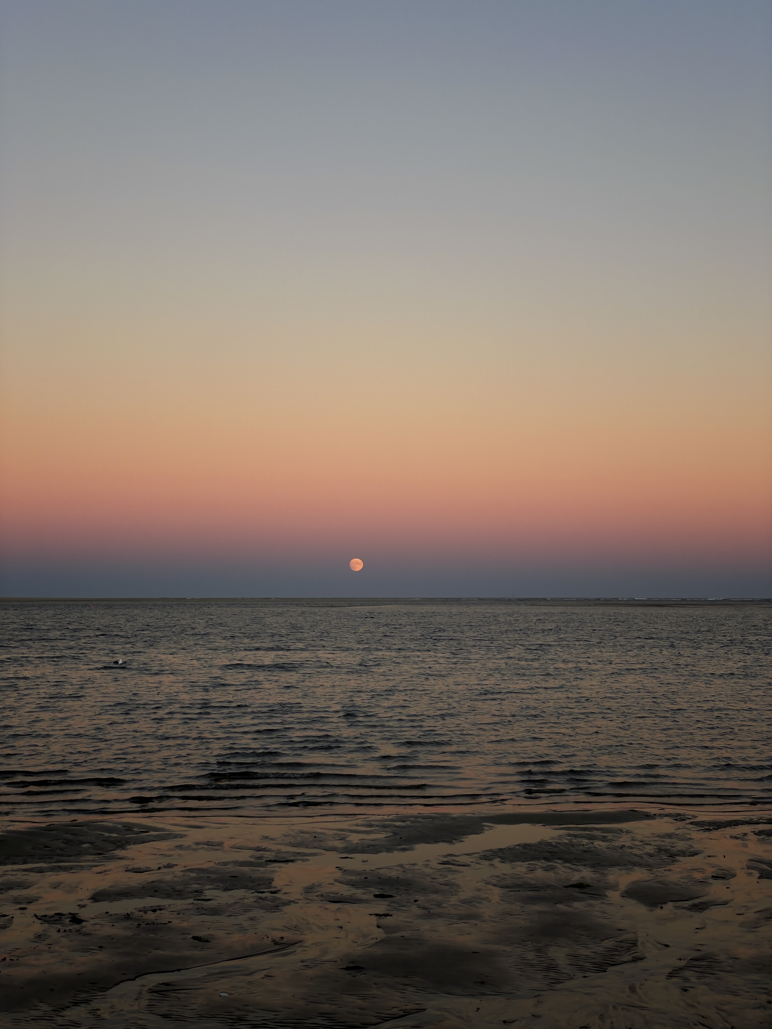
Then there are the evenings. When sunset and low tide line up, the whole landscape catches the changing light. The wet sand reflects the sky, the pools turn gold and blue, and the walk back feels like part of the view. The Town’s visitor guidance also calls out sunrise and sunset as especially wonderful times to be there.
A coast full of life
The Flats may look open and quiet, but they are full of life. Worms and mollusks live beneath the sand. Fish return with the water. Shorebirds spread across the exposed ground to feed.
Mass Audubon recognizes the wider Brewster-Eastham Flats as an Important Bird Area. Brant, Black-bellied Plovers, Sanderlings, and Dunlins gather here in large numbers during fall and early winter.
You may also see oyster grants and shellfish gear out on the Flats. They are part of Brewster’s working shoreline and a reminder that this landscape feeds people as well as wildlife. Shellfishing requires a Town permit, and the gear, racks, bags, and markers should always be left alone.
Built by ice, moved by water
The story of Brewster Flats began long before Brewster. About 18,000 years ago, the retreating Laurentide Ice Sheet left behind the rock and sediment that formed Cape Cod. Cape Cod Bay was still a freshwater glacial lake roughly 15,000 years ago, according to the Town’s natural history.
The Flats we see now are made of shifting sand tucked inside the curve of the Cape. Wind, waves, erosion, longshore currents, and tides keep moving that sand. Pools deepen or fade. Channels wander. The landscape is always recognizable, but never fixed.
It also protects the coast. Brewster’s coastal plan describes the Flats as a buffer that can soften storm surge before it reaches the beach and shoreline.
Start from almost any Brewster beach
The Flats can be reached from Brewster’s public Cape Cod Bay beaches. Crosby Landing, Ellis Landing, Linnell Landing, Paine’s Creek, and Breakwater are all wonderful places to begin. The Town’s beach guidance has the full list and current parking details.
It is still worth letting the tide set the schedule. Check the local tide forecast and arrive while the water is going out. The Town recommends one to two hours before low tide, which gives you time to explore without rushing. As the tide turns, leave plenty of time for the walk back.
That is really all the planning the Flats need. Choose a beach, follow the receding water, and see what kind of day Cape Cod Bay has made for you.
A place worth sharing
Brewster Flats is enormous, but its best moments are often small: a bird working the edge of a pool, ripples left in the sand, children discovering a tiny crab, or the last light of the day reflected at your feet.
We are proud to share a place this special. North America’s largest tidal flat is not hidden away in some distant corner of the continent. It is right here on Cape Cod, appearing and disappearing with the tide, and offering something new every time you return.